Select a diagram type for the correct positioning of
the nodes.
To select the type of diagram:
-
Select the X/Y Diagram option.
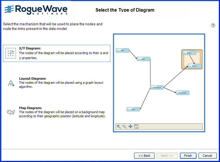 NoteThe Map Diagram type, based on latitude and longitude, is not supported for JViews TGO XML data files.
 -
Click Finish to exit the wizard and display the diagram in the Designer.
The Designer is not able to save your project in TGO
format. Use it instead to design and style the symbols to be used
to connect JViews Diagrammer to a JViews TGO data source through the
TGO-SDM adapter feature.