An orthodromy measure is represented by a
line on a map. This is useful for defining the shortest distance
between any two points selected on the map. The total distance
between the two points is computed and displayed next to the line.
Depending on the length of the line and the zoom scale, the line
may not be straight due to the curvature of the Earth. A Measures
layer is added to the Map Layers pane.
The following figure shows an example of a
Measures layer with a curved orthodromy measure displayed.
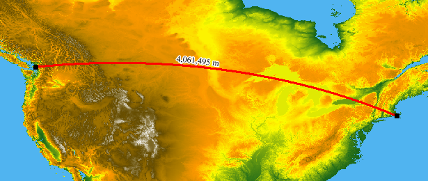
Orthodromy measure
For more information about Orthodromy measures and how to set their
properties, see Creating an orthodromy measure.