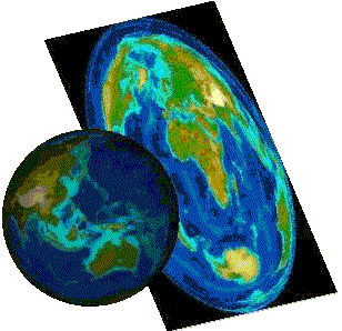
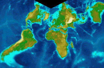
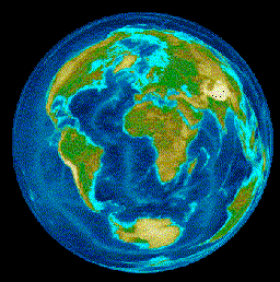
The Earth is a globe and displaying it on a plane requires
complex mathematical transformations known as projections. Map projections
are attempts to portray the surface of the earth or a portion of the
earth on a flat surface. Some distortions of conformality, distance,
direction, scale, and area always result from this process. Some projections
minimize distortions in some of these properties at the expense of
maximizing errors in others. Some projections are attempts to only
moderately distort all of these properties. Map projections convert
geographic points, represented by a longitude and a latitude, to Cartesian
coordinates in a planar coordinate system.
- Cylindrical projections are precise around the equator
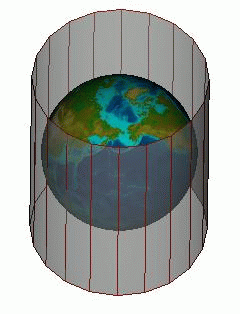
Cylindrical projection
- Conic projections are good for regions other than the equator
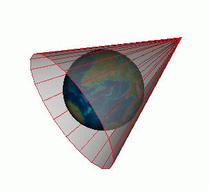
Conic projection
- Azimuthal projections are used for regions around the Poles
Azimuthal projection
You use a particular projection depending on the area
of the globe that interests you. Mercator preserves the heading and
is useful for navigation. Lambert (conic) distorts distance. Lambert
1 is used for Northern France and Lambert 2 for Southern France.
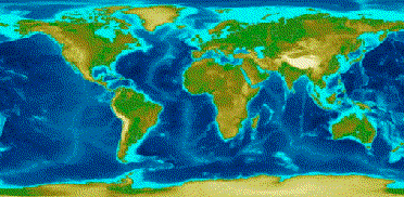
Equidistant cylindrical projection
Lambert conformal conic projection
Lambert azimuthal equal area projection
The ideal characteristics for a projection would be:
- Meridians and parallels crossing at right angles
- Converging meridians
- Equidistant parallels
- The shortest distance between two points is represented by a straight line
- Surface areas are represented by a constant ratio
- Surface contours have an accurate representation
- The whole projection is based on a uniform scale
The perfect projection does not exist, so you have to
choose the best suited to your needs, depending on the main properties
of your application and the geographic areas used in your application.