Different reference systems exist, but
georeferencing services encompass the spatial positioning of
objects on the surface of the globe and the superimposition of data
from different sources. They provide a framework for modeling the
earth.
The earth used to be modeled as a sphere,
but in reality it has an irregular shape and the modeling framework
has to take into account the irregularities.
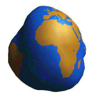
The earth modeled as an irregular shape