You can use JViews Maps
for:
- Network management systemsThe network elements are georeferenced and displayed on digital maps. JViews Maps manages the type of map to be displayed and displays meaningful data at each zoom level. Overviews display high level networks (summaries) with continent or country maps underneath. Network operators can drill down into more detailed views: they zoom in on a specific region or even on a city, where they can see the network details. In these cases, JViews Maps loads more precise maps that are more convenient for city-level views.The following figure shows an example of part of a network.
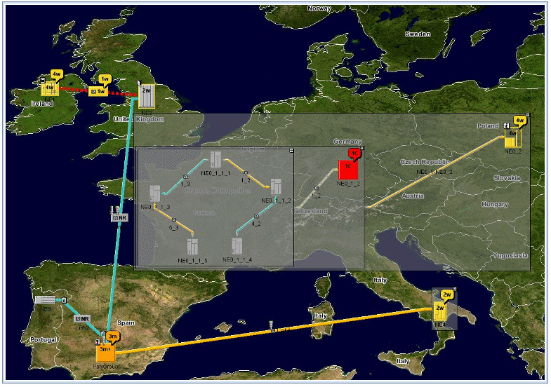
Network management system example
- Supply Chain Management, TransportationCompany assets such as trucks, warehouses, and customer sites are displayed on maps to make the supply chain more readily appreciated. Warehouses can be displayed as symbols upon maps and routes can be displayed as links or as precise road-routes.The following figure shows an example of part of a network.
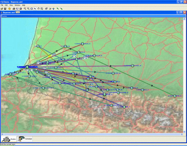
Supply Chain Management transportation
example