Map-based displays are used to represent and
manage georeferenced assets in applications such as logistics,
defense, traffic monitoring, or network systems. Objects are placed
on top of a map according to their latitude and longitude
coordinates; in a dynamic application, the geographic positions of
the objects are updated as the values of the underlying data
change.
Map-based displays are fully supported if
the extra product Rogue Wave® JViews Maps is purchased and
installed.
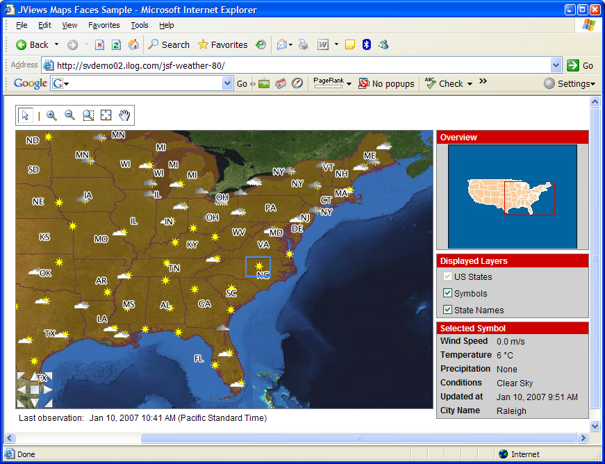
A weather map in a Web application