Mapping with PV-WAVE
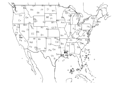
The PV‑WAVE mapping procedures let you create a variety of mapping applications. Scientific data, economic data, aerial photography data, and other kinds of data can be plotted with maps generated by PV‑WAVE, as shown in
Lightning Strikes in the US.
This section discusses how to use the PV‑WAVE mapping procedures, and includes the following topics:

Introduction
Using Map Projections and Datasets
Creating and Customizing Maps
How to Optimize Your Mapping Application
Accessing Other Map Datasets
Defining Your Own Projections
Creating Interactive Map Applications
Version 2017.0
Copyright © 2017, Rogue Wave Software, Inc. All Rights Reserved.