Rogue Wave Views Maps
Rogue Wave Views Maps is the mapping package that supports multiple data formats, map projections, and advanced cartographic features for applications that require spatial data visualization and management.
Features of Rogue Wave Views Maps include:
 Readers
: Oracle 8i, Shape, DTED, and CADRG use the reader framework architecture described in the next bullet; the
Shape reader manages the attributes, the
CADRG reader manages the Load-on-Demand, and the
DTED reader manages the Load-on-Demand and the color model.
 Reader Framework
: The Rogue Wave Views Maps architecture makes it easy to develop a new reader. It includes the concept of
map features (mapping objects that do not have any graphic representation, compliant with OpenGIS simple features) and the concept of
renderers (object that binds a map feature to a Views graphic object). Some predefined renderers are provided.
 Projections
: A wide variety of map projection schemes (among the cylindrical, conic, and azimuthal families) to meet your cartographic requirements for most accurate rendering and distortion compensation. Geodetic datum allows a more precise positioning.
 Load-on-Demand
: This feature lets you manage huge maps by loading the data only when they have to be displayed, with a cache management.
 Predefined Controls
: Specific gadgets dedicated to map-based applications are also available. This includes a specific toolbar for map control (zoom/unzoom, panning tool, selection tool), compass, scale, and so on. They require the Rogue Wave Views Gadgets package.
 Map Builder
: This application lets you build maps interactively by choosing data files, layer visibility filters, tiling for load-on-demand, and other features. The saved map can then be used in your application and all the load-on-demand and layer visibility will be handled automatically.
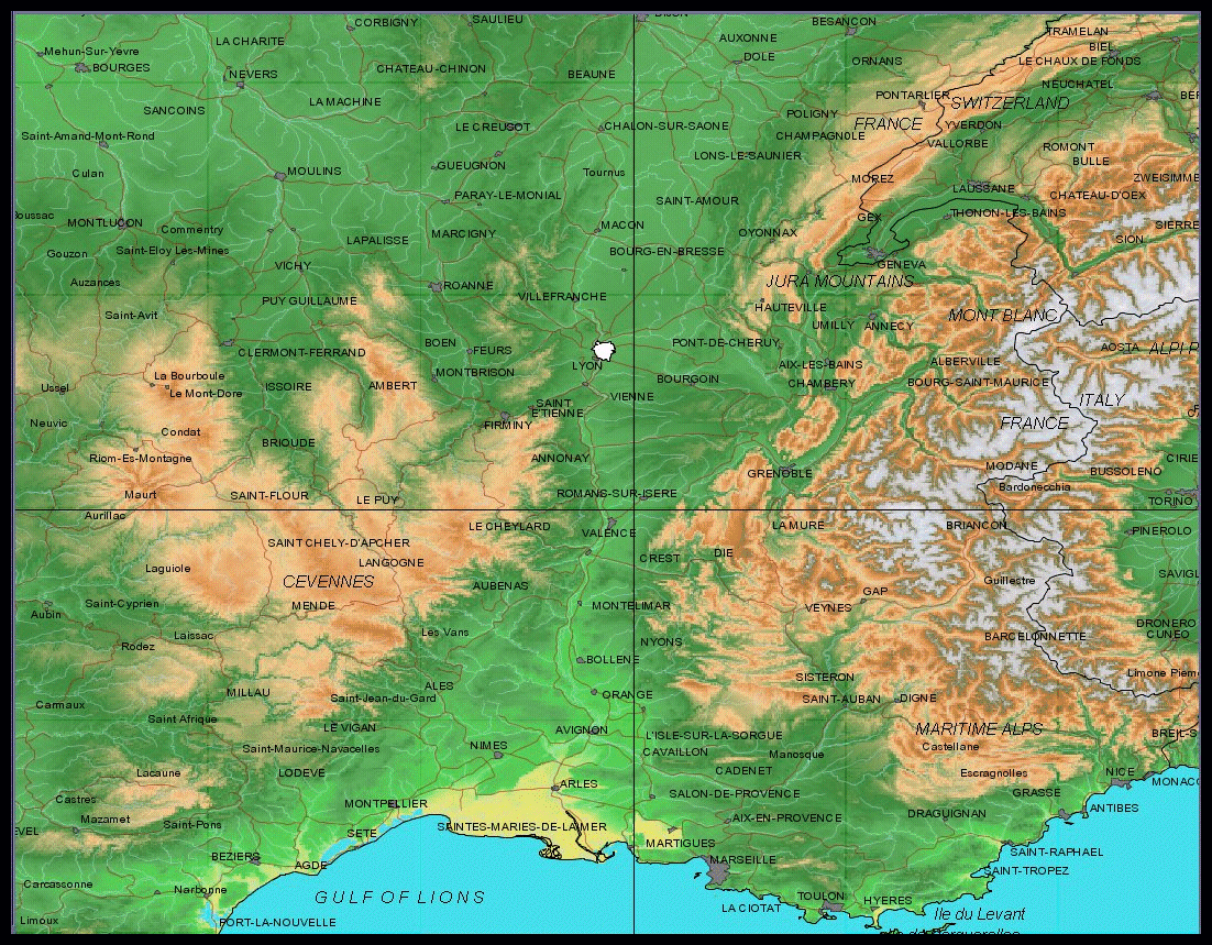
Sample of Map Projection
Prerequisite Packages:
Foundation,
Studio,
Manager.
Version 6.3
Copyright © 2018, Rogue Wave Software, Inc. All Rights Reserved.
